Wall Of China

The Great Wall of China is a series of stone and earthen fortifications in northern China, built originally to protect the northern borders of the Chinese Empire against intrusions by various nomadic groups. Several walls havebeen built since the 5th century BC that are referred to collectively as the Great Wall, which has been rebuilt and maintained from the 5th century BC through the 16th century.

image
The Great Wall of China

One of the most famous is the wall built between 220–206 BC by the first Emperor of China, Qin Shi Huang. Little of that wall remains; the majority of the existing wall was built during the Ming Dynasty.

The Great Wall stretches from Shanhaiguan in the east, to Lop Nur in the west, along an arc that roughly delineates the southern edge of Inner Mongolia. The most comprehensive archaeological survey, using advanced technologies, has concluded that the entire Great Wall, with all of its branches, stretches for 8,851.8 km (5,500.3 mi). This is made up of 6,259.6 km (3,889.5 mi) sections of actual wall, 359.7 km (223.5 mi) of trenches and 2,232.5 km (1,387.2 mi) of natural defensive barriers such as hills and rivers.

image

image

image

image

image

image

image

image

More Images Here

You have read this article Asia / Asia Heritage / China / Heritage / Heritage China / Heritage Cultural / Mountains / Wonders / Wonders of Medieval World / Wonders of the Eight World / Wonders of the New World with the title March 2012. You can bookmark this page URL http://tiffanyeatworld.blogspot.com/2012/03/wall-of-china.html. Thanks!

मर्यादा पुरुषोत्तम श्री राम


You have read this article with the title March 2012. You can bookmark this page URL http://tiffanyeatworld.blogspot.com/2012/03/blog-post.html. Thanks!

Torres Del Paine National Park

Torres del Paine National Park is a national park encompassing mountains, glacier, lake, and river-rich areas in southern Chilean Patagonia. The Cordillera del Paine is the centerpiece of the park. It lies in a transition area between the Magellanic subpolar forests and the Patagonian Steppes. The park is located north of Puerto Natales and north of Punta Arenas. Bernardo O'Higgins National Park is its neighbour to the west, while Los Glaciares National Park is located to the north in Argentine territory.

image
Torres del Paine National Park

Lady Florence Dixie, in her book published in 1880, gives one of the first descriptions of the area and refers to the three towers as Cleopatra's Needles. She and her party were the first tourists to visit what is now called Torres del Paine National Park. Several European scientists and explorers visited the area in the following decades, including Bryce Bruce, Carl Skottsberg and Alberto María de Agostini. Gunther Pluschow was the first person to fly over the Paine massif.

image

image

The park was established in 1959 as Parque Nacional de Turismo Lago and it was given its present name in 1970. In 1977, Guido Monzino donated 30,000 acres to the Chilean Government, and its definitive limits were established. The park was designated a World Biosphere Reserve by UNESCO in 1978. The landscape of the park is dominated by the Paine massif, which is an eastern spur of the Andes located on the east side of the Grey Glacier, rising dramatically above the Patagonian steppe. Small valleys separate the spectacular granite spires and mountains of the massif.

image

image

The head of French Valley is a cirque formed by impressive cliffs. To west rise abruptly the colossal walls of Cerro Cota 2000 and Cerro Catedral. Cerro Cota 2000 is named for its elevation; its highest contour line is about 2,000 meters. To the north stands the granite arete called Aleta de Tiburon.

image

image

Silence Valley is where standing face to face the gigantic granite walls of Cerro Fortaleza and Cerro Escudo with the western faces of the Torres del Paine. Ascencio Valley is the normal route to reach the Torres del Paine lookout, which is located at the bank of a milky green tarn. The highest mountain of the group is Paine Grande, although its elevation has not been determined with precision yet.

image

image

The Southern Patagonian Ice Field mantles a great portion of the park. Glaciers include the Dickson, the Grey, and the Tyndall. Among the lakes are the Dickson Lake, Nordenskjöld Lake, Pehoe Lake, Grey Lake, Sarmiento Lake, and Del Toro Lake. Only a portion of the latter is within the borders of the park. All are vividly colored, most due to rock flour suspended in their waters. The main river flowing through the park is Paine River. Most of the rivers and lakes of the park drain into Ultima Esperanza Sound via Serrano River.

image

image

image

image

image

image

image

image

Text source:- Wikipedia. Images are copyrighted by their owners. Found any copyright issue, contact the administrator immediately. Report it now!
You have read this article Chile / Mountains / National Parks / Peaks / South America / Wonders / Wonders of the Nature World with the title March 2012. You can bookmark this page URL http://tiffanyeatworld.blogspot.com/2012/03/torres-del-paine-national-park.html. Thanks!
Karstic Peaks Guilin

Yangshuo is located in Yangshuo Town. Surrounded by karst peaks and bordered on one side by the Li River. It is easily accessible by bus or by boat from nearby Guilin. Over the years, it has become popular with foreign backpackers. Visitors to Yangshuo can swim in the Li River or the cleaner Yu Long (Dragon River), climb one of many nearby karst peaks, hire a bicycle for a cycling trip through the karst scenery, arrange a sightseeing trip on the Li River by bamboo raft or cruise boat, or visit a number of local cave systems, including a butterfly cave.

image
Karstic Peaks Guilin

Zhang Yimou's folk musical, "Impression Liu Sanjie", is a popular extravaganza performed outdoors in a river and mountain setting with a cast of 600 singers and dancers. Yangshuo is also China's foremost venue for rock climbing, with around 300 bolted routes and several companies offering guiding and equipment hire. Much of the town's traditional culture has been absorbed into the tourist industry, and tourists can pay a fee to watch fishermen fishing with cormorants, hire local women in traditional ethnic dress to pose for photographs, or take classes in Chinese calligraphy, tea ceremony, or cooking.

image

image

image

image

image

image

image

image

image

image

image

Text source:- Wikipedia. Images are copyrighted by their owners. Found any copyright issue, contact the administrator immediately. Report it now!
You have read this article Asia / China / Mountains / Peaks with the title March 2012. You can bookmark this page URL http://tiffanyeatworld.blogspot.com/2012/03/karstic-peaks-guilin.html. Thanks!

Garajonay National Park

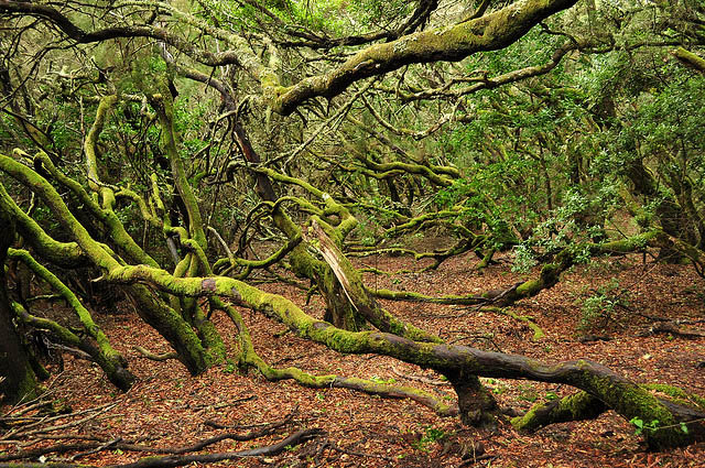
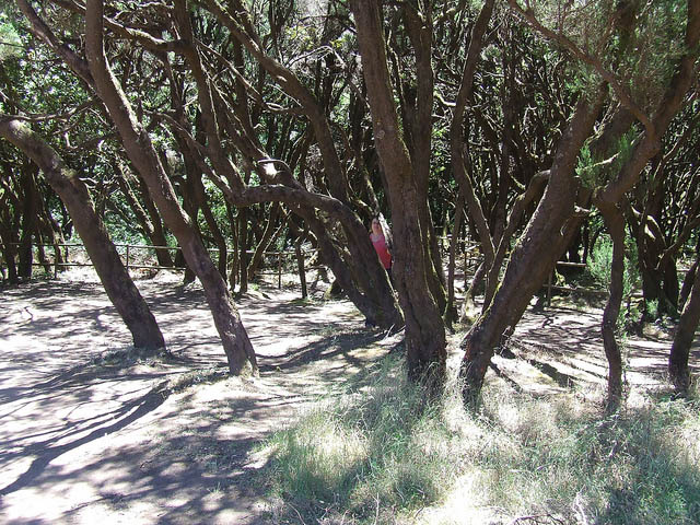
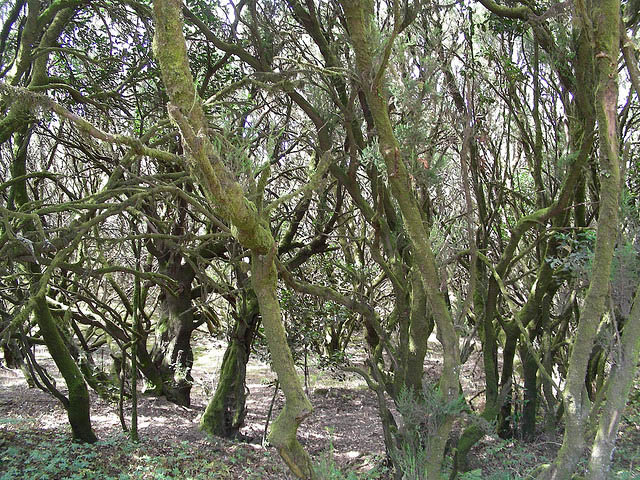
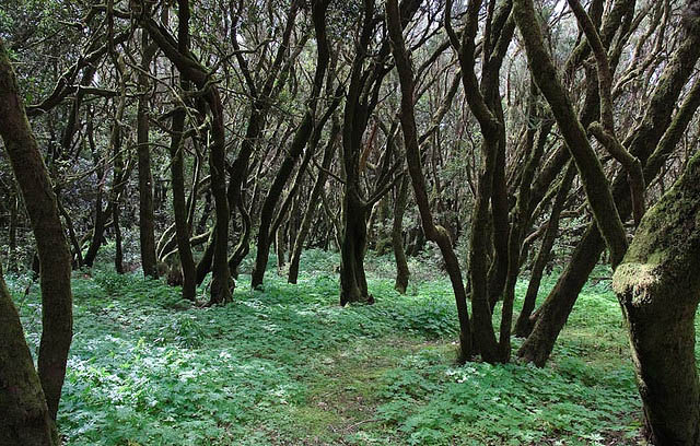
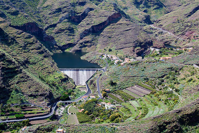
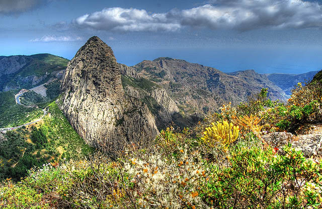
Laurel forest covers some 70% of this park, situated in the middle of the island of La Gomera in the Canary Islands archipelago. The presence of springs and numerous streams assures lush vegetation resembling that of the Tertiary, which, due to climatic changes, has largely disappeared from southern Europe. La Gomera lies to the west of Tenerife, and is one of seven islands that make up the Canary Islands archipelago off the north-west coast of Africa in the Atlantic. The island is accessible by ferry from Tenerife. The park can be reached by road from the island's major towns and villages.

image
Garajonay National Park


image

image

image

image

image

image

image

image

image

image

image

image

image

image

Text source:- Wikipedia. Images are copyrighted by their owners. Found any copyright issue, contact the administrator immediately. Report it now!
You have read this article Europe / Forests / Heritage / Heritage Europe / Heritage Natural / Heritage Spain / Mountains / National Parks / National Parks Europe / Spain with the title March 2012. You can bookmark this page URL http://tiffanyeatworld.blogspot.com/2012/03/garajonay-national-park.html. Thanks!