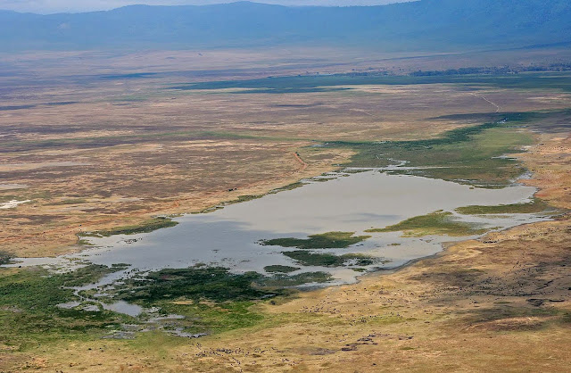
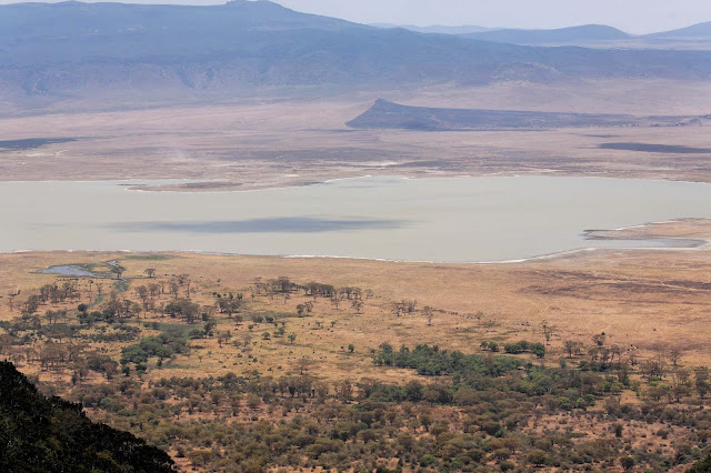
The Ngorongoro Conservation Area (NCA) is a conservation area and a UNESCO World Heritage Site situated 180 km (112 miles) west of Arusha in the Crater Highlands area of Tanzania. The conservation area is administered by the Ngorongoro Conservation Area Authority, an arm of the Tanzanian government, and its boundaries follow the boundary of the Ngorongoro Division of Ngorongoro District. The Ngorongoro Crater, a large volcanic caldera, lies within the area.
 |
| Ngorongoro Conservation Area |
Based on fossil evidence found at the Olduvai Gorge, it is known that various hominid species have occupied the area for 3 million years. Hunter-gatherers were replaced by pastorialists a few thousand years ago. The Mbulu came to the area about 2,000 years ago, and were joined by the Datooga around the year 1700. Both groups were driven from the area by the Maasai in the 1800s. Massive fig trees in the northwest of the Lerai Forest are sacred to the Maasai and Datooga people. Some of them may have been planted on the grave of a Datago leader who died in battle with the Maasai around 1840.
No Europeans are known to have set foot in the crater until 1892, when it was visited by Dr. Oscar Baumann. Two German brothers farmed in the crater until the outbreak of World War I, after leasing the land from the administration of German East Africa. Dr. Baumann shot three rhinos while camped in the crater, and the German brothers regularly organized shooting parties to entertain their German friends. They also attempted to drive the wildebeest herds out of the crater.
The Ngorongoro area originally was part of the Serengeti National Park when it was created by the British in 1951. Maasai continued to live in the newly created park until 1959, when repeated conflicts with park authorities over land use led the British to evict them to the newly declared Ngorongoro Conservation Area.
The Ngorongoro Conservation Area Authority is the governing body regulating use and access to the NCA. The area became a UNESCO World Heritage Site in 1979.
Land in the conservation area is multi-use: it is unique in Tanzania as the only conservation area providing protection status for wildlife whilst allowing human habitation. Land use is controlled to prevent negative effects on the wildlife population. For example, cultivation is prohibited at all but subsistence levels.
The area is part of the Serengeti ecosystem, and to the north-west, it adjoins the Serengeti National Park and is contiguous with the southern Serengeti plains, these plains also extend to the north into unprotected Loliondo division and are kept open to wildlife through trans-human pastoralism practiced by Maasai. The south and west of the area are volcanic highlands, including the famous Ngorongoro Crater and the lesser known Empakai. The southern and eastern boundaries are approximately defined by the rim of the Great Rift Valley wall, which also prevents animal migration in these directions.
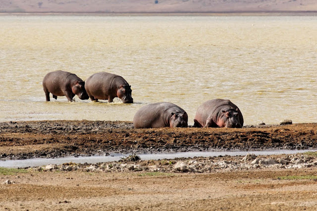
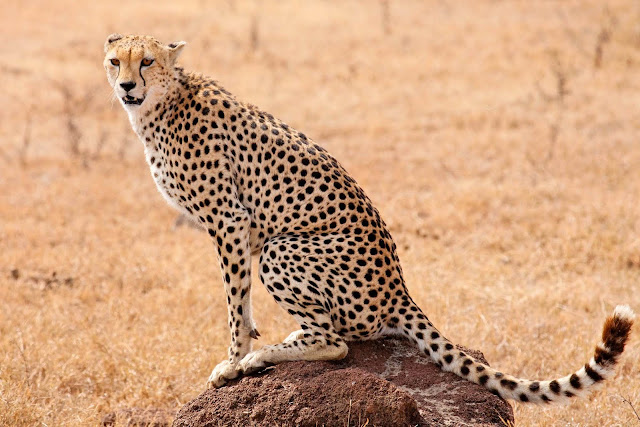
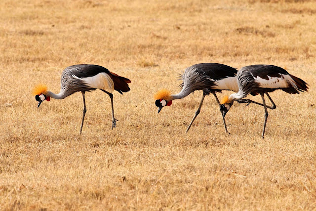
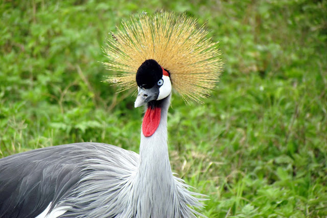
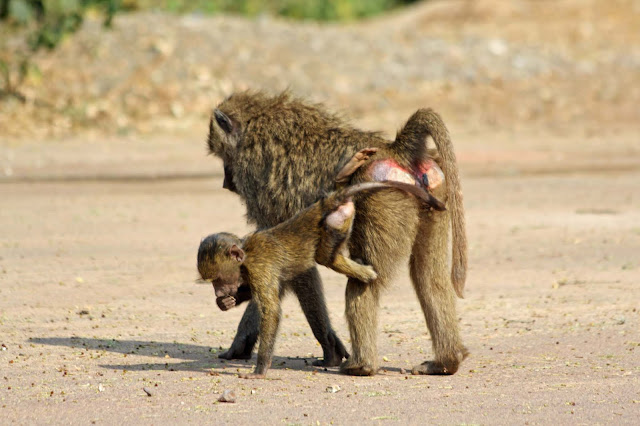
The annual ungulate migration passes through the NCA, with wildebeest and zebra moving south into the area in December and moving north in June. This movement changes seasonally with the rains, but the migration will traverse almost the entire plains in search of food. The NCA has a healthy resident population of most species of wildlife, in particular the Ndutu Lake area to the west has strong cheetah and lion populations.
Text source:- Wikipedia. Images are copyrighted by their owners. Found any copyright issue, contact the administrator immediately. Report it now!
You have read this article Africa /
Africa Heritage /
Heritage Cultural /
Heritage Tanzania /
National Parks /
National Parks Africa /
Tanzania
with the title Ngorongoro Conservation Area. You can bookmark this page URL https://tiffanyeatworld.blogspot.com/2011/06/ngorongoro-conservation-area.html?m=0. Thanks!

